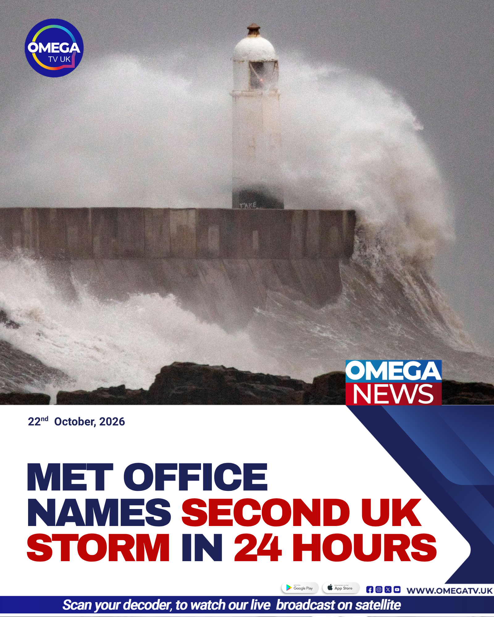
Met Office Names Storm Boelo After Austen
The Met Office has named Storm Boelo as the second storm expected to affect the UK within days, bringing strong winds and heavy rain to northern regions over the weekend. Forecasters warn that gusts could reach 80mph in exposed coastal areas.

Second Storm Set to Hit UK
Storm Boelo is forecast to arrive in Northern Ireland and western Scotland on Saturday afternoon, before bringing increasingly disruptive conditions to Scotland and northern England.
The storm is expected to be strengthened by an active jet stream as it crosses the Atlantic, according to forecasters. Its arrival follows Storm Austen, the first named storm of the 2026–27 season, which is forecast to affect southern parts of the UK on Friday.
Met Office Deputy Chief Forecaster Chris Bulmer said Boelo would affect the opposite end of the country to Austen, potentially creating a particularly unsettled weekend.
Strong Winds and Heavy Rain Expected
The entire UK is expected to experience heavy rain on Saturday as the weather system moves in from the west and winds strengthen throughout the day.
A yellow wind warning has been issued for mainland Scotland, the Western Isles, Orkney and the far north of England, running from 6pm on Saturday until 9pm on Sunday.
Widespread wind gusts of between 55mph and 65mph are forecast across the affected areas, while exposed coastal locations could experience gusts reaching 70mph to 80mph.
Northern Ireland is also covered by a separate yellow wind warning from 6pm on Saturday until 3pm on Sunday. Gusts of 50mph to 60mph are expected widely, with exposed areas potentially experiencing speeds of 65mph to 75mph.
Storm Austen Brings Earlier Disruption
Before Boelo arrives, Storm Austen is expected to bring strong winds and heavy rain to southern parts of the UK.
The Met Office has issued an amber wind warning and two yellow wind warnings covering Cornwall, the Isles of Scilly and parts of west Devon.
Austen is forecast to clear into the North Sea by Friday evening, although its passage could cause disruption before the second storm reaches northern regions.
The closely timed weather systems mean different parts of the country will face challenging conditions across consecutive days.
Travel and Safety Concerns
The forecast of strong winds and heavy rainfall raises the risk of travel disruption, particularly in exposed coastal areas and locations vulnerable to flooding.
Motorists, rail passengers and ferry travellers may experience delays, while strong gusts could affect high-sided vehicles and make driving difficult.
Residents are also advised to secure loose outdoor items and keep checking local forecasts as the storms approach. Weather warnings can change as forecasters receive more information about the systems’ strength and movement.
Unsettled Weekend Ahead
With Austen forecast to affect southern Britain before Boelo brings further strong winds to the north, forecasters are warning of a particularly unsettled period.
The Met Office continues to monitor both systems and advises the public to follow updated weather warnings and local safety guidance.