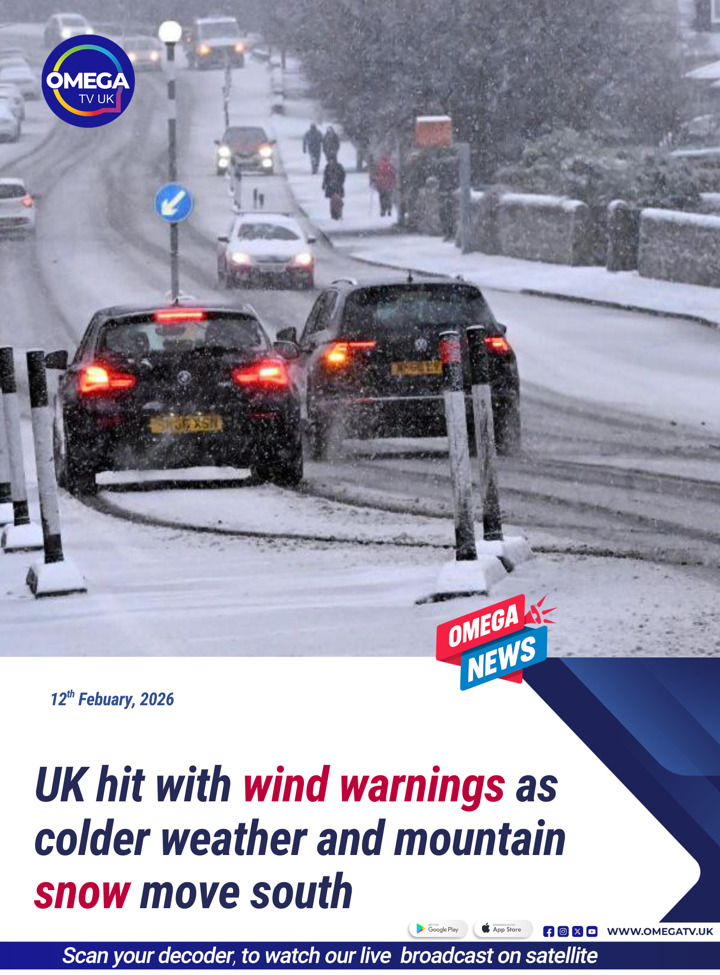
Weather officials have issued wind warnings across parts of the United Kingdom as a cold front moves south, bringing strong gusts, heavy rain and the possibility of mountain snow.
The Met Office has issued yellow weather warnings covering Scotland, Northern Ireland, northern England, North Wales, and parts of the north Midlands.
The warnings begin early Thursday morning and remain in effect until the evening, with forecasters warning of potential transport disruption.
Strong winds expected
Gales are forecast to bring widespread gusts of 50–60mph, with some areas briefly seeing gusts of more than 70mph.
In Scotland and Northern Ireland, the strongest winds are expected in the morning, while northern England, the north Midlands and North Wales are likely to see peak winds in the afternoon.
Some of the most difficult travel conditions could affect major routes such as the M6 motorway, A68 road, and A1 road.
Ferry passengers in Scotland have been advised to check travel updates after previous strong winds caused service cancellations.
Snow expected on high ground
After the cold front passes, temperatures will drop sharply, allowing wintry showers to develop across northern parts of the UK.
Snow is expected on high ground above around 200 metres, particularly in Scotland, Northern Ireland, northern England and North Wales.
The highest areas of Scotland could see 10–20cm of snow accumulating.
Why the weather is turning windy
Meteorologists say the unsettled conditions are being driven by a powerful Atlantic jet stream, with winds reaching about 220mph high in the atmosphere.
This strong jet stream is helping generate areas of low pressure, which are pushing stormy weather across the region.
Earlier this week, Scotland experienced strong gusts including 74mph in South Uist in the Hebrides and 68mph in Orkney, leading to ferry disruptions.
Forecasters say unsettled weather with strong winds and wintry showers could continue into the weekend.