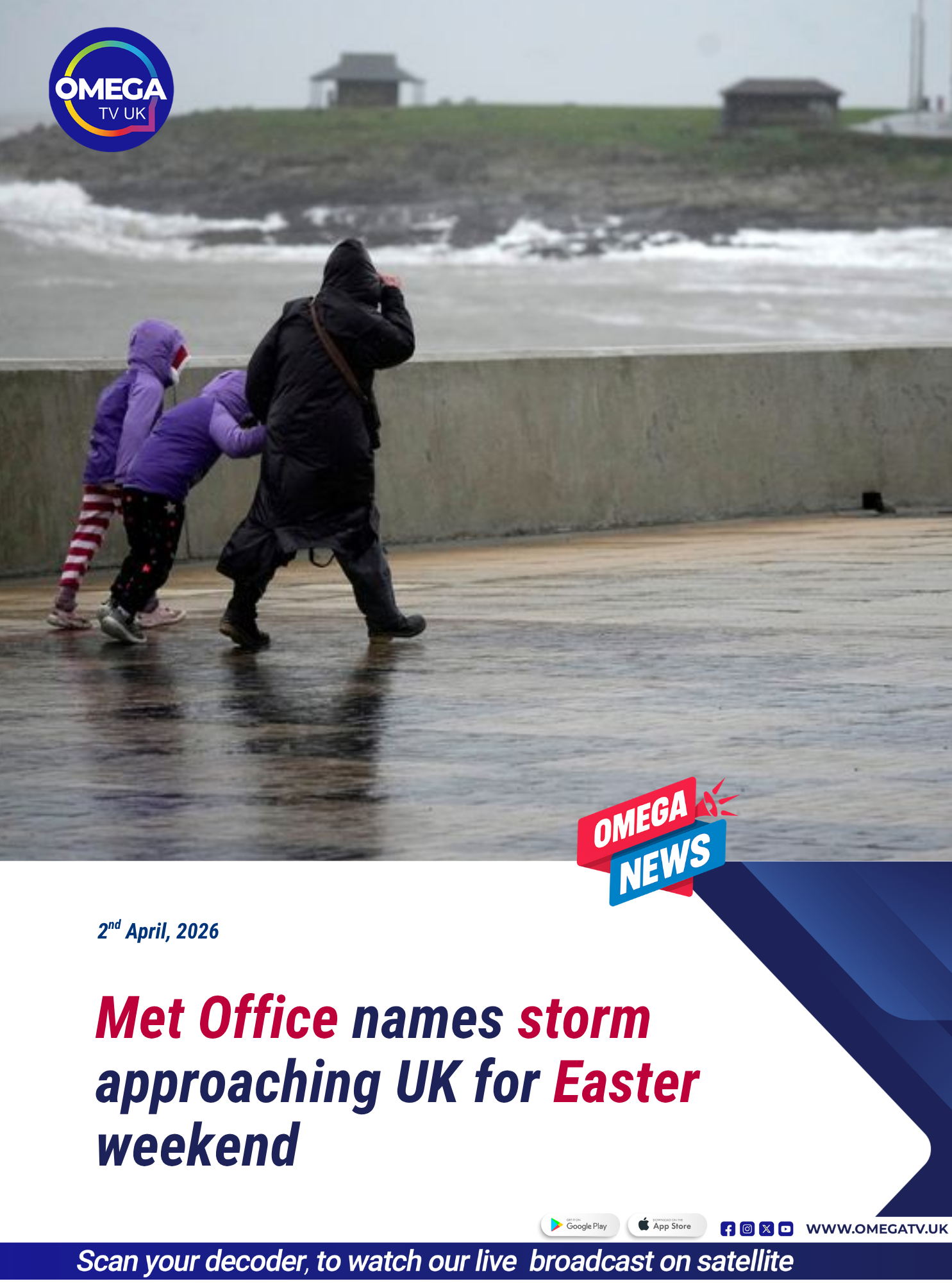
The Met Office has named its latest storm “Dave” as it warns of a period of severe weather expected to impact parts of the United Kingdom over the Easter weekend. The storm is forecast to bring powerful winds and areas of disruptive snowfall, particularly across northern regions, raising concerns about travel disruption, power outages and potential damage.

Storm Dave is expected to affect areas from Saturday into Easter Sunday, with the most severe conditions likely across northern United Kingdom, including Scotland, Northern Ireland, North Wales and parts of northern England stretching from Liverpool to Newcastle. The Met Office has issued multiple yellow warnings for wind, indicating a medium level of impact but still posing risks to safety and infrastructure.
Winds of up to 90mph are forecast in some exposed western parts of Scotland, with widespread gusts of around 70mph expected. These conditions could lead to fallen trees, structural damage and hazardous driving conditions. Authorities have warned that transport services, including road, rail, air and ferry travel, are likely to be disrupted between Saturday evening and Sunday afternoon.
In addition to the strong winds, snowfall is also expected, particularly in northwest Scotland. A yellow snow warning has been issued for a 12-hour period starting on Saturday afternoon, with forecasts suggesting accumulations of 5–10cm in areas above 200 metres. In higher elevations, snowfall could reach 10–20cm, with the potential for blizzard-like conditions as strong winds combine with heavy snow.
Deputy chief forecaster Tom Crabtree explained that the storm will form and intensify rapidly as it moves in from the west. As it approaches the UK, conditions are expected to deteriorate quickly, with winds strengthening significantly by Saturday afternoon.
He noted that gusts of 60–70mph are likely across parts of Scotland, with the possibility of even stronger winds reaching 80–90mph in exposed coastal areas. More widely across northern Britain, gusts of 50–60mph are expected, which are still strong enough to cause disruption and pose safety risks.
Forecasters have also warned of potential power outages due to the severity of the winds. Such outages could affect homes, businesses and essential services, including mobile phone coverage. Residents in affected areas are being urged to prepare in advance by securing loose objects, ensuring they have emergency supplies, and taking precautions to stay safe during the storm.
Rain is also expected to accompany the storm as it moves eastwards across the UK, with periods of heavy rainfall adding to already challenging conditions. The combination of strong winds, rain and snow is likely to create particularly difficult weather for travellers and outdoor activities during the holiday weekend.
Despite the severe conditions in the north, the south of the UK is expected to experience relatively calmer weather. Forecasters predict a “breezy” but largely dry period, with some sunshine, especially on Sunday afternoon and at times on Monday. This contrast highlights the typical north-south divide in UK weather patterns during storm events.
Storm Dave is the fourth named storm of the year, following a naming system used by the Met Office to raise awareness of significant weather systems that could impact the public. The name “Dave” was reportedly nominated in a light-hearted manner, referencing a husband described as snoring “three times louder than any storm.”
The Met Office continues to monitor the storm closely and will update warnings as necessary. With the storm expected to peak over the weekend, authorities are urging people in affected areas to stay informed, avoid unnecessary travel, and take precautions to minimise risks.
As Storm Dave approaches, its impact is expected to be felt across multiple regions, with the combination of high winds, heavy rain and snow making it one of the more significant weather events of the season.